|
The Rural Technology Initiative (RTI) is a technology
transfer program created as a partnership between the University
of Washington, Washington State University, and the USDA Forest
Service to provide rural forest managers with the best scientific
knowledge and tools needed to solve today’s complex forest
management problems. RTI hosts training sessions for non-industrial
forest landowners, public and private forestry professionals, educators
and other interested publics.

Attention!
Due to a funding short fall for the RTI training
program, tech transfer short courses will be cancelled
through 2009.
The exception will be for cases where
supplemental funding support can be identified. |
Fundamental Training and
Applications of the LMS Workshop
|
 |
About LMS
The Landscape Management System (LMS) is a powerful forestry
software program developed at the University of Washington
in cooperation with the USDA Forest Service under the direction
of Dr. Chad Oliver. LMS is a Microsoft Windows application
that utilizes growth models, visualization software, and analysis
programs to provide forest land managers with a tool for evaluating
forest management alternatives over time at the stands and
the landscape level. RTI hosts LMS introductory training sessions
for Washington forestry consultants, tribal foresters and
non-industrial forest landowners at changing locations across
the state. Participants will receive 24
Category 1 Society of American Foresters CFE credits.
The College of Forest Resources Silviculture Laboratory website
offers a free
download of LMS.
|
|
The next LMS
workshop will be scheduled
as soon as funding
allows!
|

Introduction to ArcGIS
9 and the Use of GIS
|
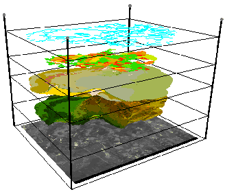 |
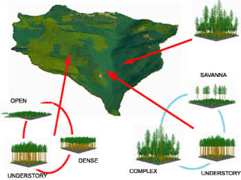
About GIS
GIS (Geographic Information Systems) are specialized computer
systems made for the storage, analysis, and display of spatially-referenced
information. GIS is rapidly becoming a fundamental component
of modern, knowledge- and information-based forest management.
ArcGIS® is one of the world’s most highly used GIS
software packages. Developed by ESRI,
it employs an easy to use point and click interface running
on a variety of different computers (PC, Mac, UNIX). Luke
Rogers, instructor for this course, is a GIS Specialist
for the Rural Technology Initaitive and an ESRI-authorized
ArcGIS instructor with a decade of GIS experience in education,
research, and industry. Upon completion of the course, students
are eligible to receive 18
Category 1 Society of American Foresters CFE credits and the ESRI “Introduction to
ArcGIS” certificate of course completion.
|
|
The
next GIS workshop will be scheduled
as soon as funding allows!
|
The Global Positioning
System (GPS) Training
|
 |
About GPS
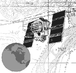
The Global Positioning System (GPS) is a utility used for
a variety of purposes in forest and natural resource management.
GPS is an important tool for capturing and generating data
for a GIS (Geographic Information System). Features such as
roads, streams, wetlands, stand boundaries, sampling plots,
and bird nests can be mapped easily and with high accuracy
and precision. GPS is also used for real-time navigation within
the forest to relocate sampling and inventory plots.
This workshop will introduce the GPS technology; its theory
(how and why it works), and its use (how to make it work for
you). Students will gain hands-on experience with state-of-the-art
equipment in a real working forest setting. Upon completion
of the course, students will be able to plan and execute GPS
data-gathering missions and to convert GPS data to common
GIS formats. Students will receive 14.5
Category 1 Society of American Foresters CFE credits.
|
|
The
next GPS workshop will be scheduled
as soon as funding allows!
|
|