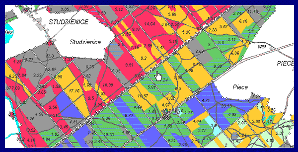
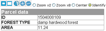
If you'd like, click the map and link with the Tatuk
Internet Map Server to experiment with the data. (It might take a
few moments for the Java script to load.) When ready, you can use the
"Identify" tool to click on a polygon to see part of the stand
data:
 |
The TatukGIS server offers additional samples combining image and vector data and the opportunity to test object transparency (allowing you to see through map layers).