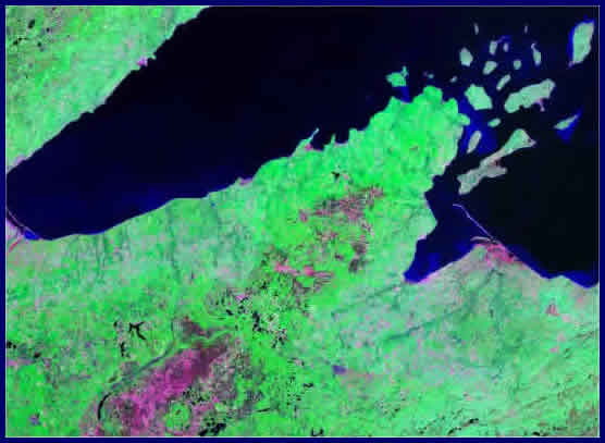
Landsat false color images reveal various types of land cover. Each pixel in a full-scale Landsat image represents about 30 meters. Coverage for most of the Earth is available in MrSID compression format from NASA and other sources. The Landsat image above shows Lake Superior and the Apostle Islands off the tip of the Bayfield Peninsula in Wisconsin.