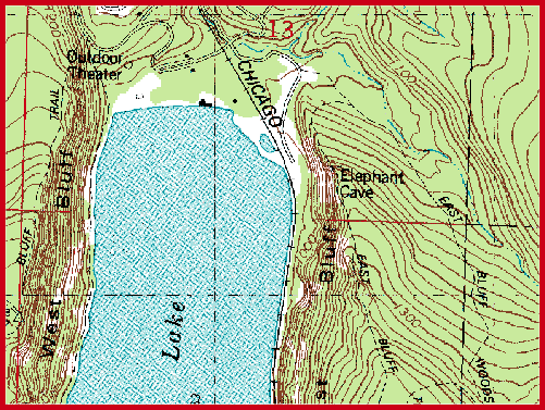
A digital raster graphic (DRG) is a scanned image of a U.S. Geological Survey topographic map. Geo-referencing information is added to DRGs to associate the maps with their true position on the ground. The best quality images are available in 250 to 500 dpi scans, depending upon when they were produced. DRGs are available free for many states (see Links for sources). They are also available for download from TerraServer (including automatic retrieval with USAPhotoMaps) and other sources, but DRGs served as web images are generally lower resolution.